I've been following iD development on github (https://github.com/systemed/iD/) since last year, and I honestly think that reading through its source is the single best case study I've come across for application development with D3. It's pretty phenomenal. Perhaps I'm a bit biased since I work on map stuff as well, but I think pretty much anyone thinking about using D3 to build anything larger than one-off visualizations would do well to see how it's put to use in iD.
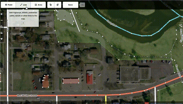
Just added my first changes through iD, I didn't expect something so simple, functional and ergonomic. Little details like contextual ~pie-menus, geometric operation suggestion for instance segment midpoint as a trigger for insertion, very pretty. Did you work on modeling tools prior to that ?
Since I obviously have some OSM developers in the room, can somebody point me to the right place to query against OSM mapping data? That is, if I want to get all one-way streets and stop-lights within my area, how do I do that? I've tried the various tools that send you a subset of the map (they don't seem to work) and the "download the whole OSM map and play with the XML" seems like a good way to choke on the data... Anybody got pointers?
If you're wanting to query the data importing into PostGIS is a fairly straightforward way to do it. And you don't have to download the whole planet in one go.
Be aware that those extracts are squares around the cities - they're not exact city border outlines.
This means that you can't just use the data without concern for whether the things you're gathering are actually within the city or not.
Some cities make shapefiles available for urban growth boundaries and city limits. It's worth enquiring. But be aware that some cities city limits are not simple polygons; depending on local ordinances you can see islands, internal voids and peninsulas attached with zero width stems.
Well remember OSM is an international project, so trying to find one definition of "city" and "border of a city" is hard. Some places (like USA) seem to use "city" as a hard solid thing, other places (eg UK / ireland) don't.
Except that the place tag isn't always based on population size. In some places, (e.g. UK), a common cultural definition of a "city" is archaic, and depends if the place has a Cathedral and/or charter from the monarch.
I give you the "city" of St. David's: http://www.openstreetmap.org/browse/node/3216768 It's in Wales, UK, and is tagged as "place=city". It's a small town of ~2,000 people. It has a charter from the monarch, and a cathedral. The "note" tag in OSM says: "the "city" is on paper, what's on the ground is a small town".
Greenhorn, Oregon is designated as a city but has a 2010 census population of zero. Though now unicorporated, Tenny, Minnesota, was a city and had a peak population of 180 people in 1910 but now is down to 5 (2010 census).
I've been playing with place names & http://overpass-turbo.eu/ ... I seem to be getting the best results with "city|hamlet|metropolis|town|village", although some states like Alaska & Hawaii still don't return much with this scope.
In Alaska, a lot of places are labeled as County. In Hawaii, a lot of places are labeled as Other.
A friend of mine has recently started a service for providing processed OSM data based on user's requirements for a small fee. Check it out - http://opencagedata.com/
Nice. In the older editors, I always had trouble figuring out how to categorize points of interest. For example making a node a restaurant/bank/etc was always a hit or miss operation. Most of them wouldn't stick, if they even had one that made sense. I hope that's been fixed.
Is it easy to add a roundabout yet? I've wanted to make a whole bunch of improvements to OSM and keep getting stuck when trying to turn an intersection into a roundabout.
http://www.mapbox.com/osmdev/2013/02/26/id-architecture-part... http://www.mapbox.com/osmdev/2013/02/27/id-architecture-part... http://www.mapbox.com/osmdev/2013/02/28/id-architecture-part...